| |
| HOME |
| PEOPLE |
| RESEARCH |
| PRESENTATIONS |
| NEWS & LINKS |
| P.E.A.R.L. |
Introduction to the Lake of the Woods
|
||
Spotlight on the Lake of the Woods
|
The Lake of the Woods (LoW) is a remnant of ancient Lake Agassiz that was the largest lake in North America during the last deglaciation (~18,000 until ~10,000 years ago) (Yang and Teller 2005). Today LoW is a large, complex, international body of water that straddles the borders of Ontario and Manitoba in Canada and northern Minnesota in the U.S.A. One glance at a map or satellite image will convince you that this is by no means a typical lake. You can find out more about this fascinating lake by clicking on our slideshow “Spotlight on the LoW”.
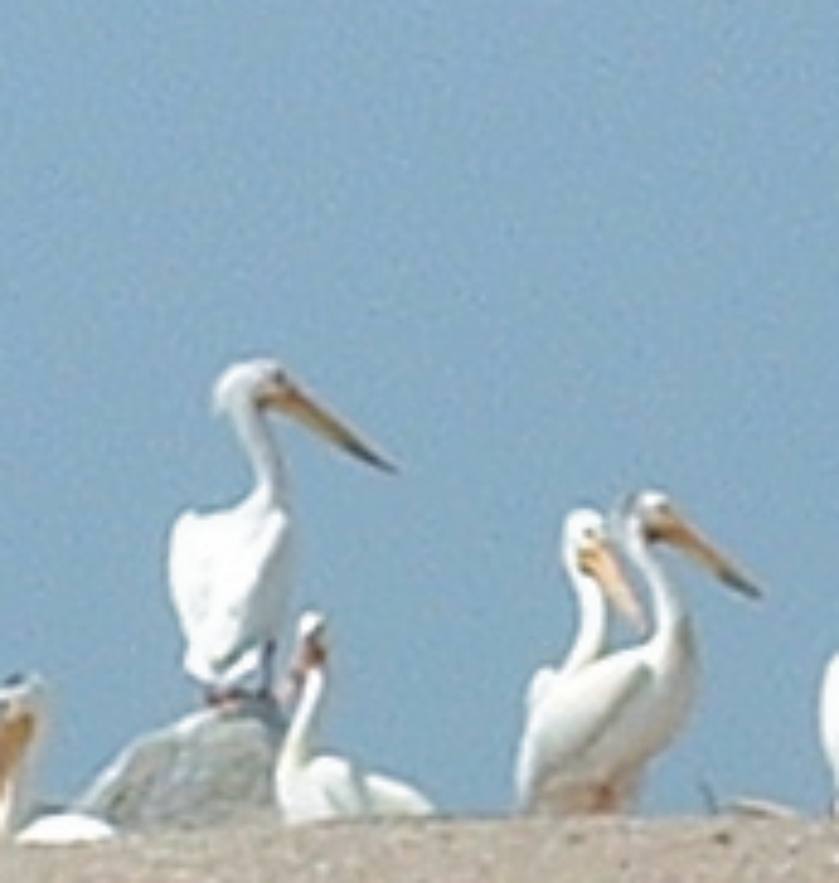
The Lake of the Woods (LoW) is known for its natural beauty and abundance of flora and fauna. There are many plants that grow here that are not found anywhere else in Ontario nor in Canada’s boreal forest. There are many birds, mammals and insects that are frequent visitors or permanent residents of the LoW that are not found elsewhere in Ontario, and in some cases in the rest of Canada or the world (e.g. the globally rare green-faced clubtail dragonfly).
The Lake of the Woods has a rich and interesting history and has been a hub of human activity for at least the last ~9,000 years. Given the lake’s beauty and its diversity of wildlife, it is not surprising that people have made this their summer destination for time immemorial. Around 2000 years ago (and likely much earlier) the LoW was considered an important communications network by early inhabitants such as the Laurel people. The Rainy River provided a natural artery to and from the Great Lakes, whereas chains of rivers and lakes connected to the Mississippi River to the south (Robertson and McCracken2003). French explorers in the mid 1600s immediately recognized the potential of the LoW and opened the floodgates for both the fur trade and for missionaries. Dams were built starting ~1887 at the northern outlets to the Winnipeg River resulting in an average increase in water level by ~2 metres. The establishment of dams throughout the LoW resulted in strictly controlled water levels in this complex system.
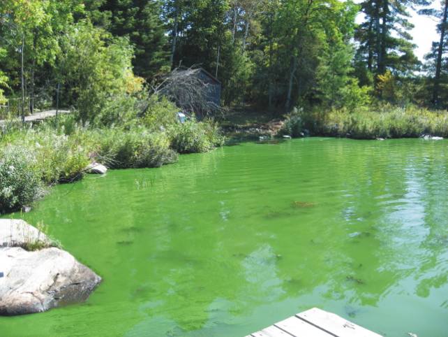
Today, there is a perception that water quality in the LoW has deteriorated over recent years due to a purported increase in the frequency and intensity of cyanobacterial algal blooms. Historical records going back at least to 1823, have reported on the appearance of “green scum of vegetable matter” on the LoW and that its waters were of many colours “….sometimes as thick and green as pea soup.” Typically blooms occur in mid summer in the south end of the LoW and in late summer early fall at north end. As a result, there is understandably much interest in determining whether there have been historical changes in total phosphorus (TP) concentrations throughout the basin as TP is known to be an important limiting nutrient for algal growth. In other words, has the LoW always been high in nutrients such as TP? Has the water quality changed since pre-development (or pre-industrial) times? If so, when did these changes occur? What is the direction and magnitude of this change? What are the possible reasons for this change?
Further reading:
Lake of the Woods Museum: http:/www.kenora.ca/museum/history/History.aspx?id=3241
|
|