
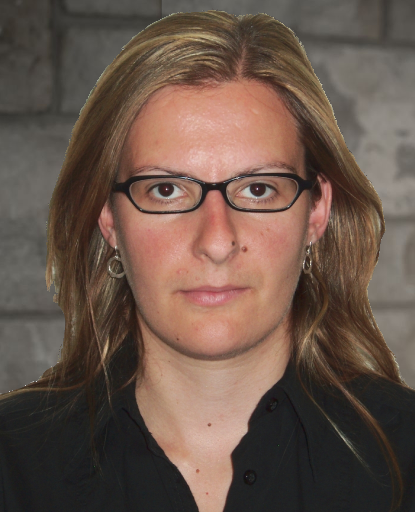
 PhD, PEng.
| Office | Bruce Wing 526 |
|---|---|
| Phone | (613) 533-6639 |
| georgia.fotopoulos@queensu.ca |
Professor Georgia Fotopoulos' research expertise in geodesy and geomatics engineering focuses on applications related to understanding natural and built environments using heterogeneous data sets from multiple platforms.
Keywords: Positioning, Navigation, Surveying, Height Systems, Remote Sensing, Gravity Field, United Nations Sustainable Development Goals.
Research
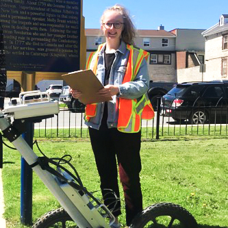 Stephanie in the field at St.Paul's Church collecting GPR data in order to help determine the location of Molly Brant's grave | 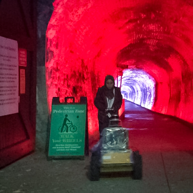
| 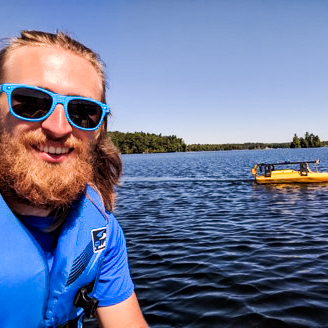 Mitchell during a marine magnetometry survey of Lake Ontario. | 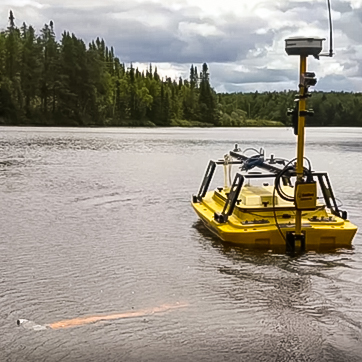
| 
|
| 
| 
| 
| 
|
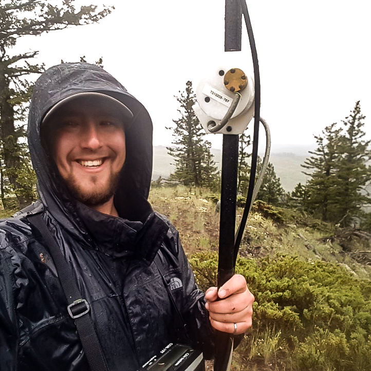
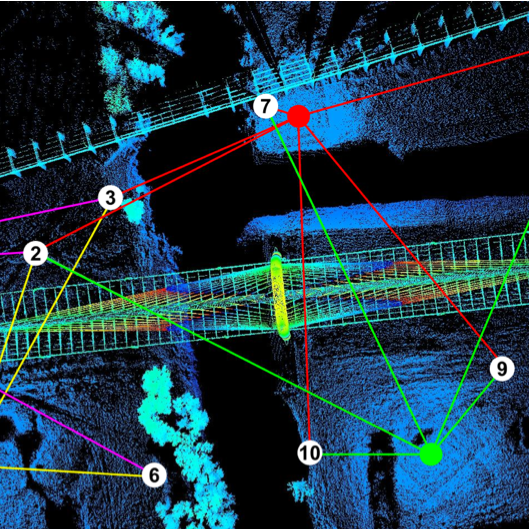 Control Network for the Terrestrial Laser Scanning of the Margaret Hunt Hill Bridge, Dallas, Texas (created by PhD students: Dimitris and Graham) | 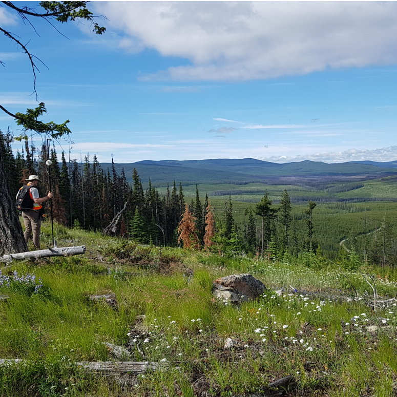 Callum collecting terrestrial magnetic data in the Okanagan Valley, British Columbia | 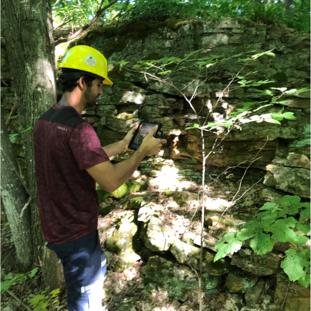 Real-time 3D Handheld Scanning of Outcrop (Fouad) |  Special Issue of Geomatica on Geodesy (cover: G. Fotopoulos) | 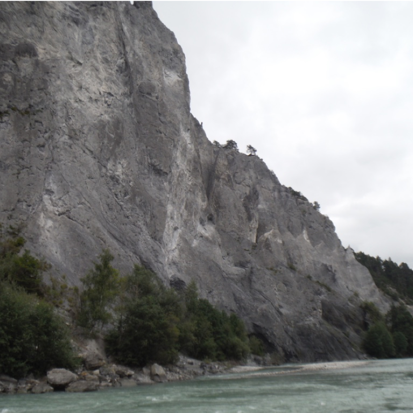 In the field: Ruinaulta, Switzerland |
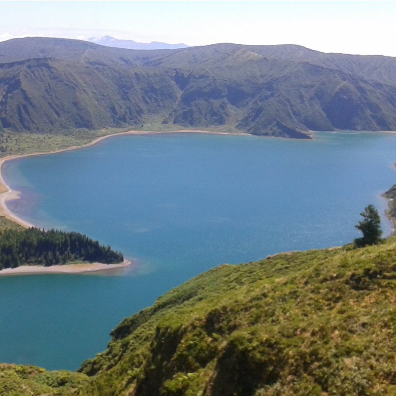
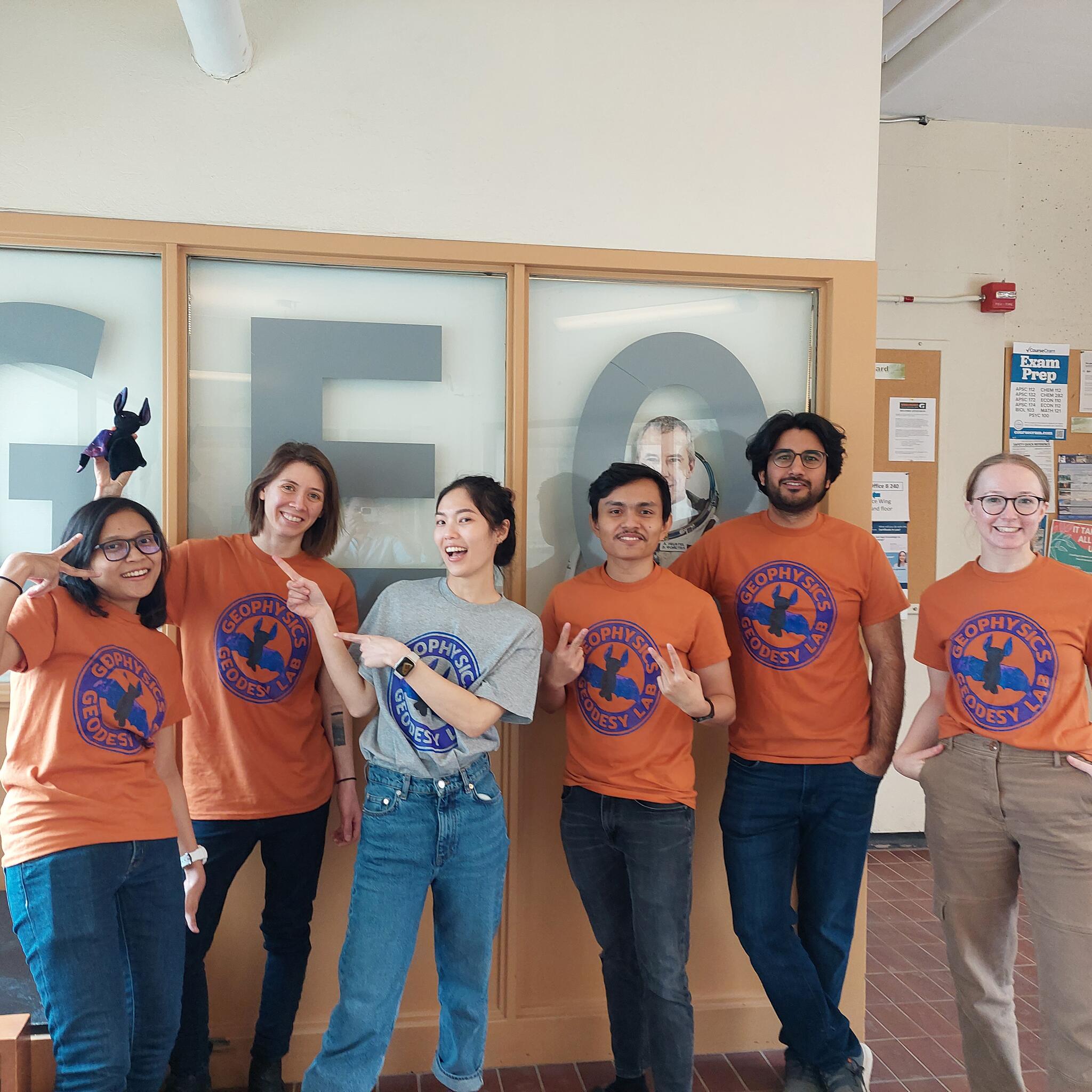
In the field: Lagoa do Fogo, Sao Miguel, Azores |  Geodetic Survey of Canada Benchmark | 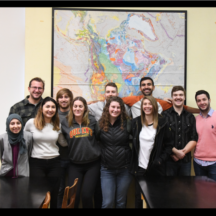 Geodesy and Geophysics Research Lab Group | 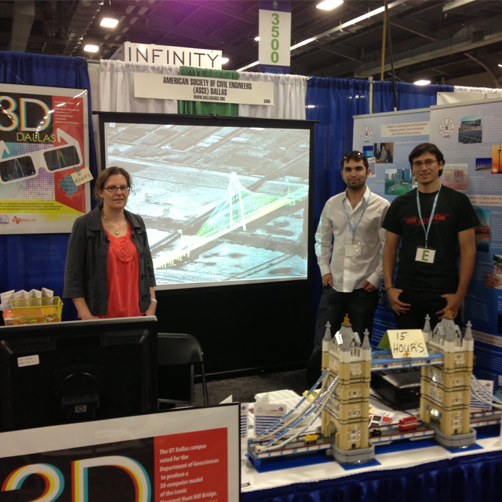 Earth Day Dallas Showcase | 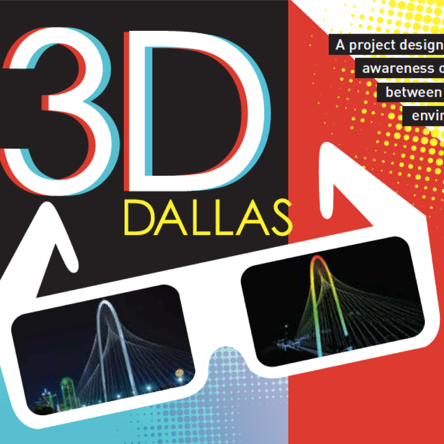 Earth Day Dallas and ASCE Collaboration |
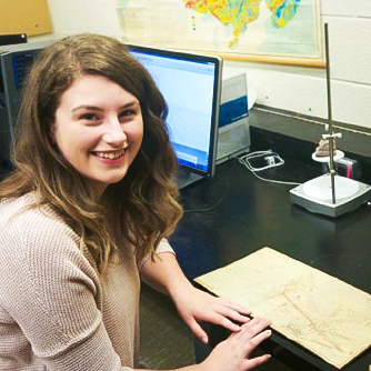
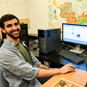
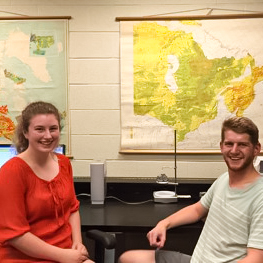
Geophysics & Geodesy Research Group Students |
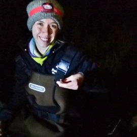
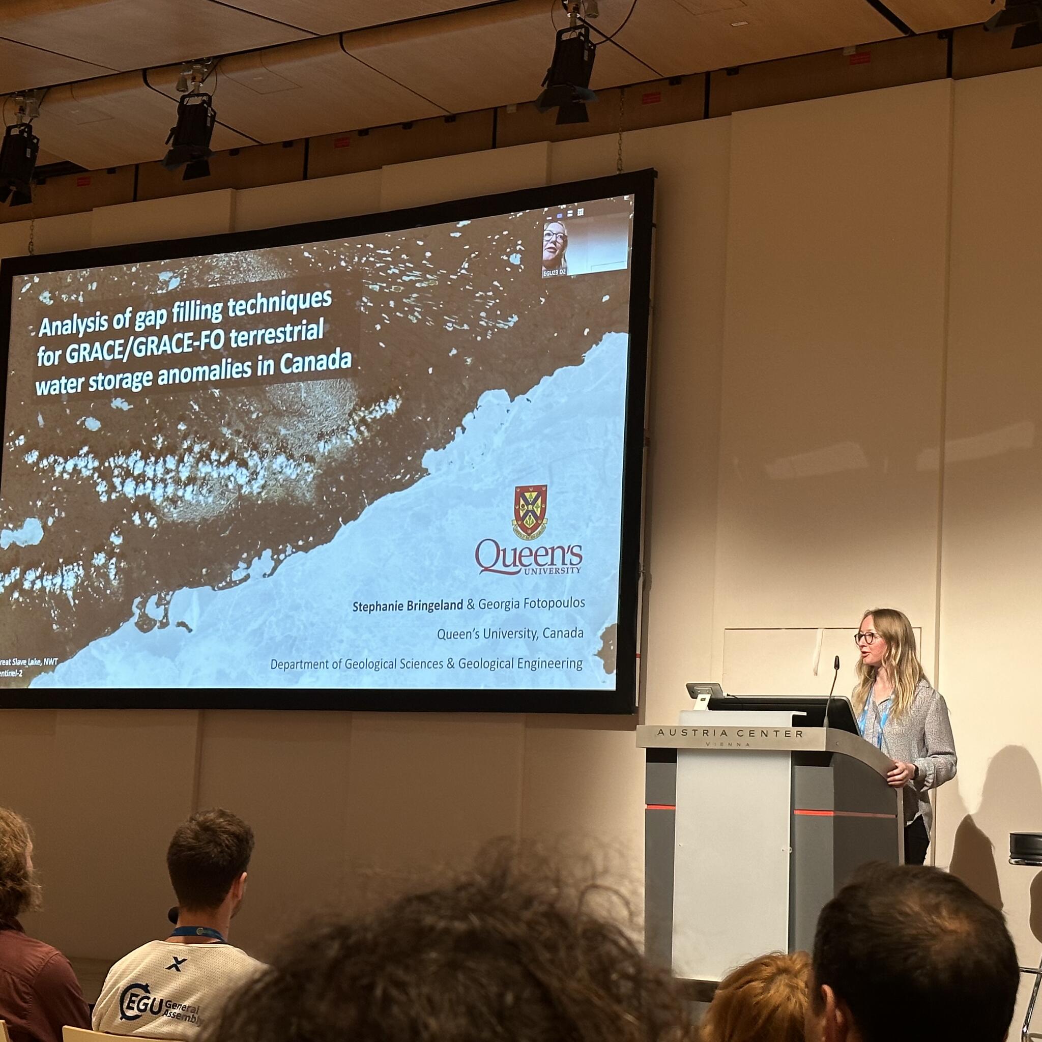
Stephanie presenting at EGU 2023 in Vienna |
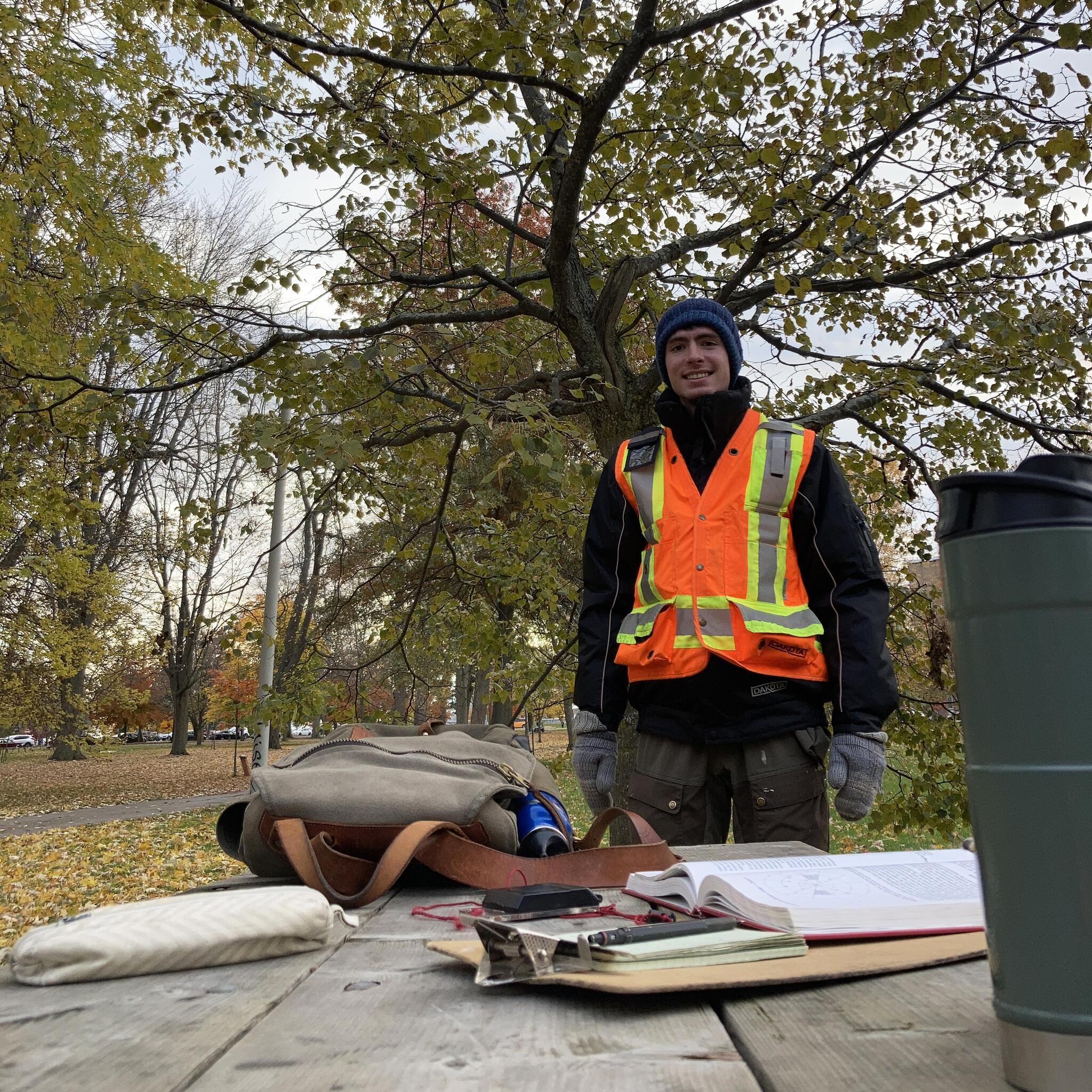
Benji in the field, City Park, Kingston |
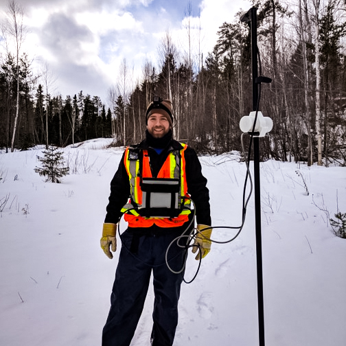
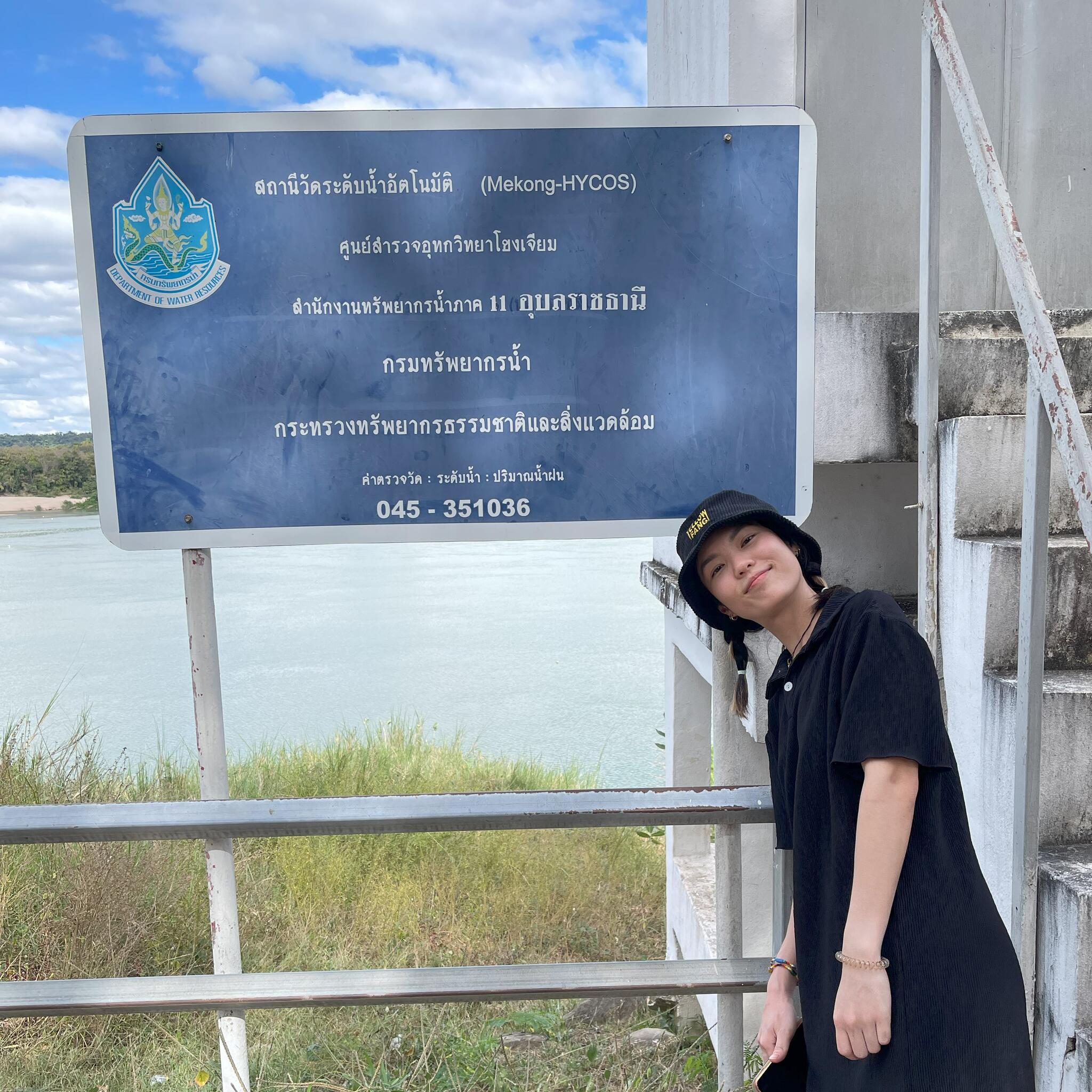
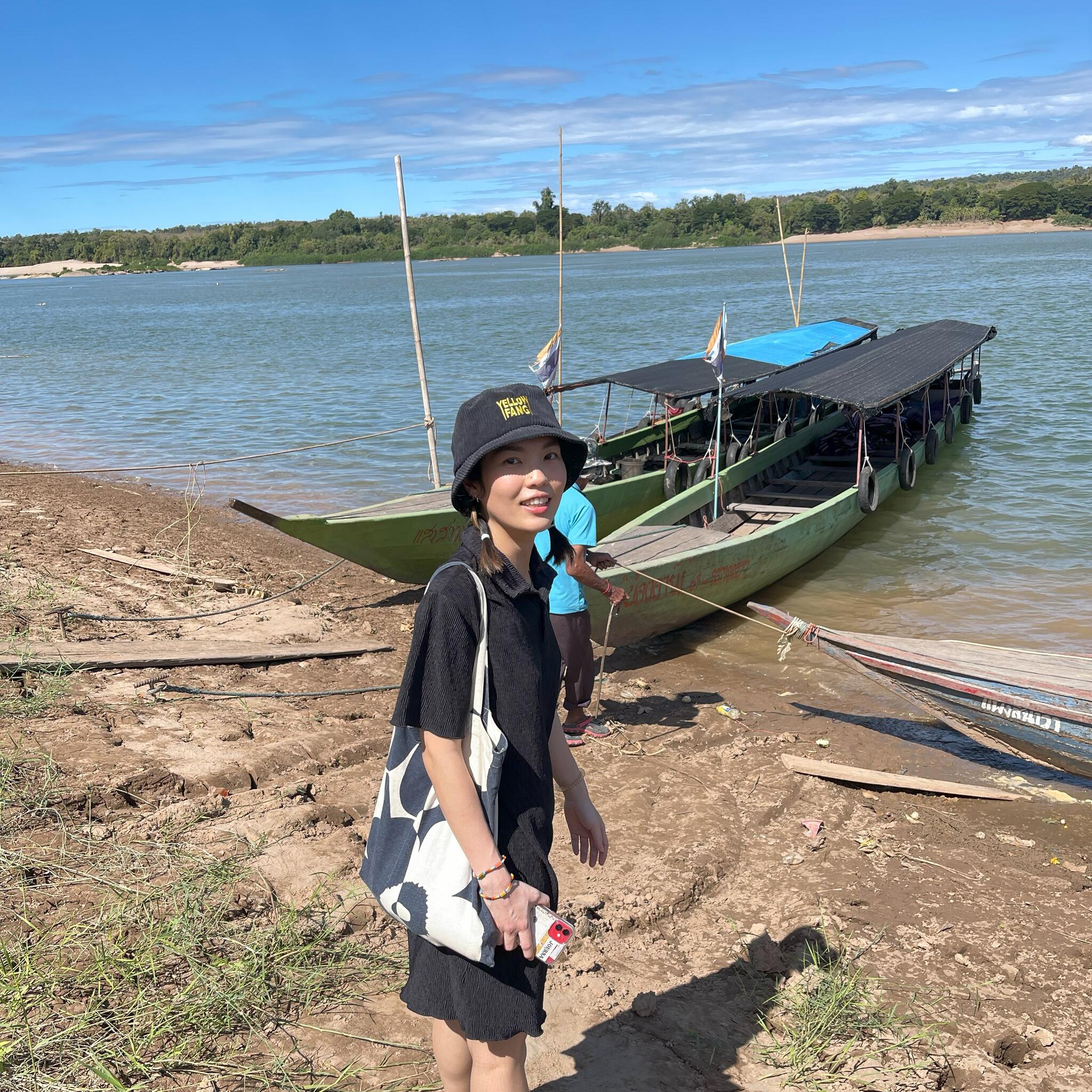
Netsai at water gauge station, Mekong River, Thailand |
Netsai in the field, Thailand |
List of Graduate Students Co/Supervised
| Student | Program | Thesis |
|---|---|---|
| Monique Rivard | MASc (in progress) | |
| Daniel Dudziak | MSc (in progress) | |
| Netsai Wiboonwipa | PhD (in progress) | Water level changes in the Mekong River using heterogenous satellite data |
| Stephanie Bringeland | PhD (2025) | Spatio-temporal analysis of terrestrial water storage across Canada using satellite gravimetry |
| Danielle Beaulne | PhD (2025) | Calibrating Satellite Altimetry for Water Level and Remote Sensing of Algal Blooms in the Laurentian Great Lakes |
| Curran MacDonald | MSc. (2025) | |
| Benjamin Saadia | MASc (2022) | Characterization and Classification of Ambient Seismic Noise in Urban Environments |
| Andrew Branson | MASc (2021) | Chromite Exploration and Deformation Monitoring through PSInSAR |
| Callum Walter | PhD (2021) | UAV-borne Aeromagnetic Surveying for Target Characterization in Mineral Exploration |
| Fouad Faraj | MASc (2021) | Object detection and patter of life analysis from remotely piloted aircraft system acquired full motion video |
| Shaza Ismail Kaoud Abdelaziz | MASc (2020) | Vision-aided inertial system for near-real-time positioning and navigation of unmanned ground survey vehicles in GNSS-denied environments |
| Mitchell Wootton | MASc (2020) | Autonomous Magnetic and Bathymetic Surveying for Canadian Lakes |
| Malcolm MacDougall | MASc (2019) | Impact of Long- and Short-Term Geodynamic Processes on Hydrocarbon Reservoirs in the Grand Banks |
| Rebecca Hudson | MASc (2018) | Assessing the Contributions of Remote Sensing Data in Geological Site Investigations |
| Oliva Charlebois | MSc (2018) | Calibration of Sentinel-3 altimetry observations over the Great Lakes |
| Danielle Beaulne | MSc (2018) | The importance of geospatial inputs in assessing fine-scale landscape genetic patterns of a temperate treefrog |
| Katie Irwin | MASc (2017) | Surface water classification and monitoring using polarimetric synthetic aperture radar |
| Alexander Harvey | MASc (2016) | Multi-scale visualization and interpretation of geological relationships |
| Erica Peterson | PhD (2017) | A concept for maritime monitoring onboard formation-flying microstatellites |
| Athina Peidou | MASc (2016) | Modeling the impact of large-scale solid mass transfers on the gravity field |
| Judith Elliott | MSc (2016) | On the feasibility of time-lapse superconducting gravimetry for reservoir monitoring |
| Dimitrios Bolkas | PhD (2015) | On the estimation of uncertainties and fusion of multi-platform geodetic data |
| Graham Mills | PhD (2015) | Numerical tools for interpreting rock surface roughness |
| Lauren Ramsey (University of Texas at Dallas) | MSc (2012) | Supervised classification and change detection of the 2010 Gulf of Mexico Oil Spill |
| Hope Sepela (University of Texas at Dallas) | MSc (2012) | The use of terrestrial LiDAR for stratigraphic modeling to illustrate digital outcrop models |
| Eric Morrow (University of Toronto) | MSc (2009) | GRACE-derived terrestrial water storage and evapotranspiration in the Mackenzie River Basin |
| Brian Hsueh (University of Toronto) | MSc (2009) | Simulation and compensation of ionospheric phase scintillation noise in spotlight SAR data |
| Carina Raizner (Universitat Stuttgart) | MSc (2009) | A regional analysis of GNSS-levelling |
| Erica Peterson (University of Toronto) | MASc (2008) | Applications and orbit scenarios for a multistatic InSAR formation flying microsatellite mission |
Supervising Information
Undergraduate and graduate students interested in joining the Geophysics & Geodesy Research Group are welcome to contact me directly.
Professional Associations
- Registered Professional Engineer with Professional Engineers Ontario (PEO)
- Canadian Geophysical Union
- International Association of Geodesy
- Canadian Institute of Geomatics
- International Society of Photogrammetry and Remote Sensing
Teaching
- GEOE/L 359: Applied Quantitative Analysis in Geological Engineering
- GEOE/L 345: Site Investigation and Geological Engineering Design
- GEOE 281: Introduction to Geological Engineering
- GEOE/L 817: Presenting Science
- GEOE/L 884: Satellite Positioning
- Select topics in numerical modelling, geodesy and data analysis offered on demand.
Select Publications
Please see Google Scholar for a list of publications.