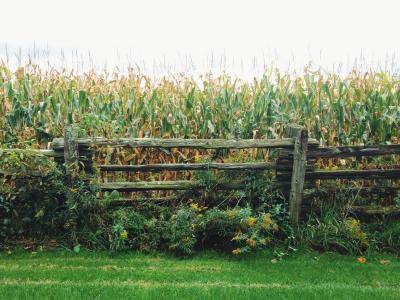
Countryside in the Oak Ridges Moraine, courtesy of Caroline Morrow
Building on our understanding of Ontario provincial planning policies on environmental impact assessment and land use, including the Planning Act and the Provincial Policy Statement, this project involves observing and documenting how First Nations in Southern Ontario, non-governmental organizations, municipal planners and policymakers are influencing the revision of Ontario’s Greenbelt Plan.
The project has three main components:
- to track Indigenous planning practices associated with the Greenbelt Planning process and when invited, to work with First Nation partners on research in support of their initiatives;
- to develop an extensive meta data base about the Greenbelt and its associated and adjacent lands (i.e., also includes information on the Oak Ridges Moraine, Niagara Escarpment and Places to Grow) and
- to carry out a case study on the Sumac Ridge Green Energy planning process that includes involvement by Curve Lake First Nation in order to examine innovations achieved, shortcomings, and contributions to the concepts of tiering and conformity.
The project uses the following methods:
- policy analysis
- discourse analysis
- interviews
This research is led by Dr. Graham Whitelaw and Dr. Daniel McCarthy.