|
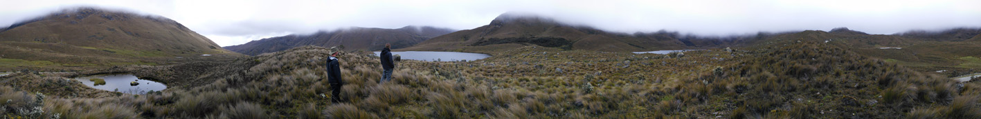
Panoramic view of Cajas National Park, which encompasses 26,544 ha and
ranges in elevation from 3,100 to 4,450 meters above sea level.
Photograph by Chris Grooms.
|
 |
 |
 |
|
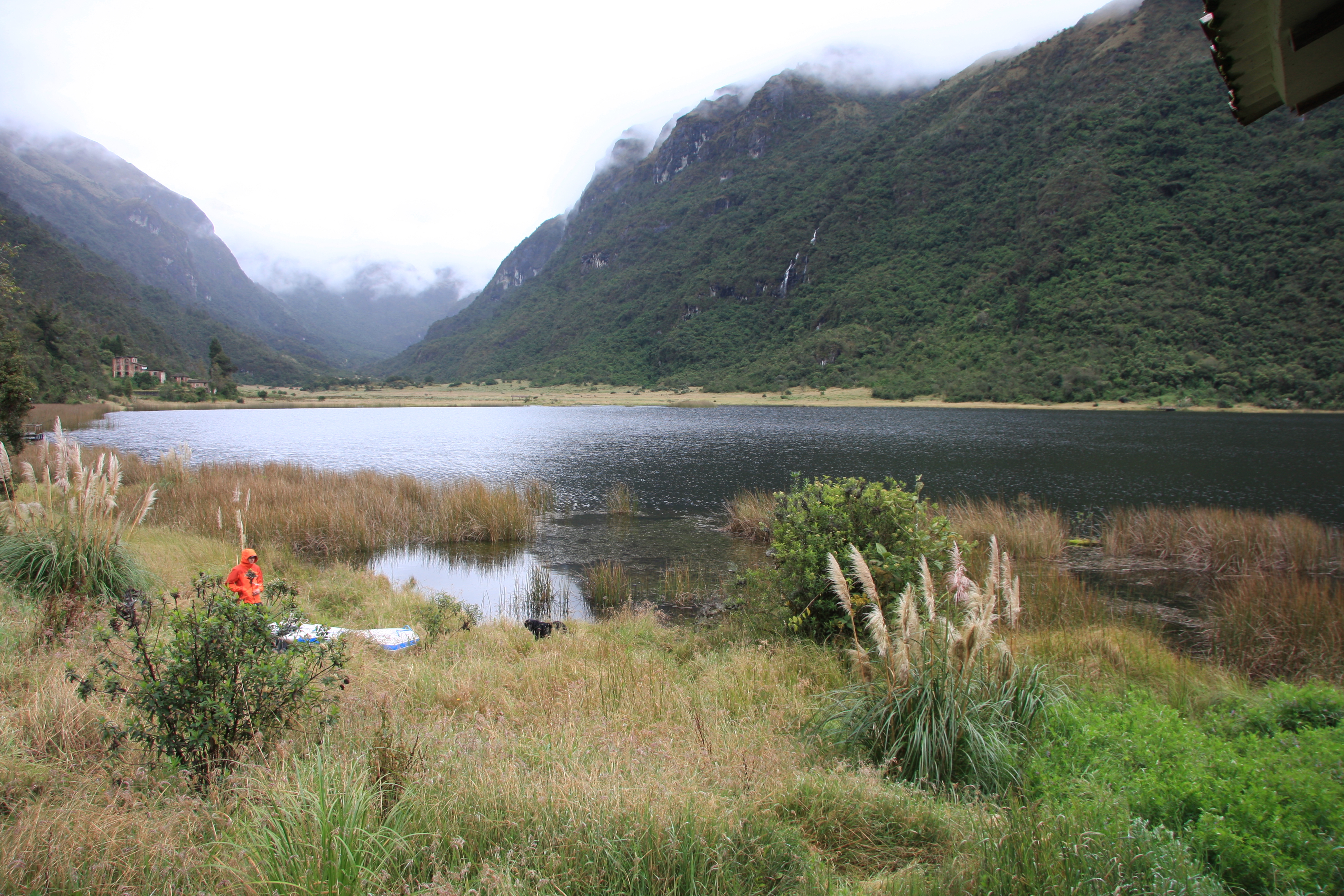
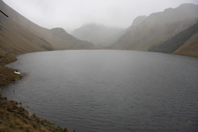
View of Cajas National Park, which contains more than 235 lakes of
glacial origin. These water resources supply more than 60% of drinking
water to the nearby city of Cuenca, the third largest city in Ecuador.
Photograph by Neal Michelutti. |
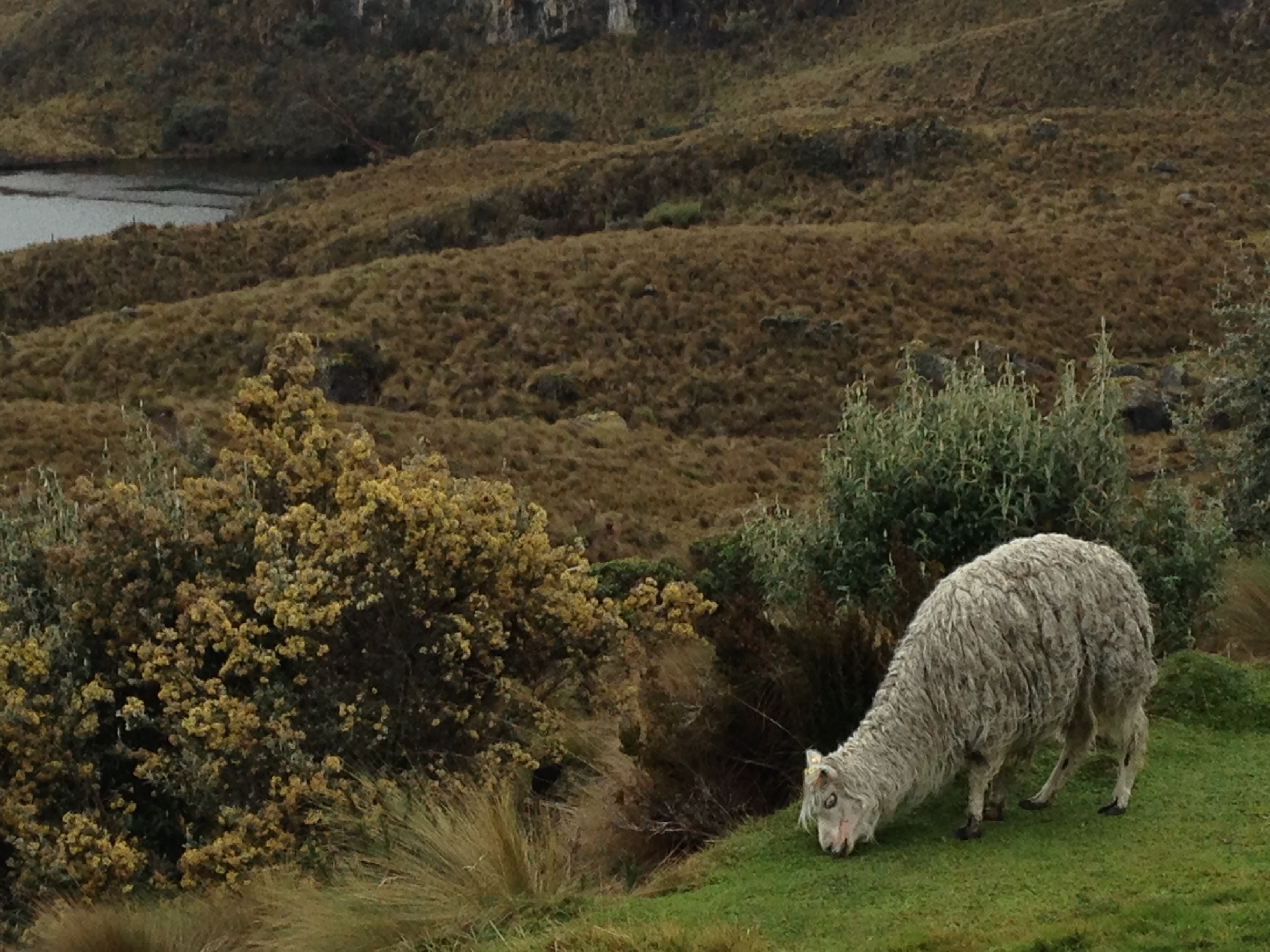
Cajas National Park was established in 1977 under Ecuador’s National
System of Protected Areas to conserve the flora, fauna, and historical,
cultural and hydrological resources in this region of the Andes.
Photograph by Neal Michelutti. |
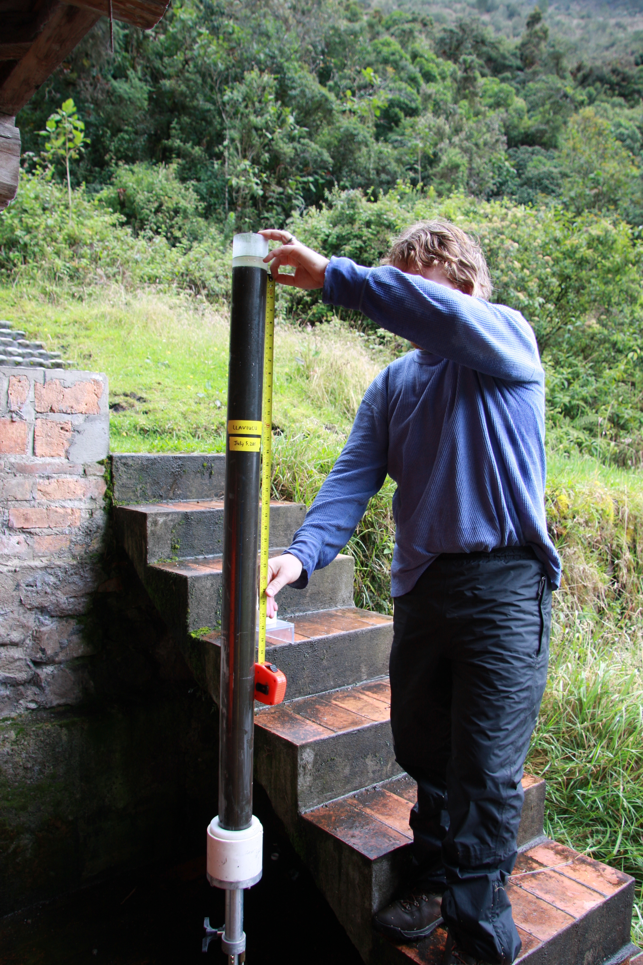
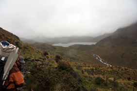
Preparing to sample a lake in Cajas National Park. Fieldwork for this
study was performed in August 2011. Photograph by Chris Grooms.
|
 |
 |
 |
|
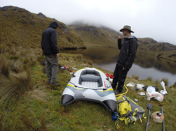
Recovery of a sediment core from one of the study lakes. Photo by Neal
Michelutti. |
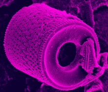
Scanning electron micrograph image of an Aulacoseira diatom,
preserved in the sediments of an Andean lake. Photo by Alexander Wolfe. |
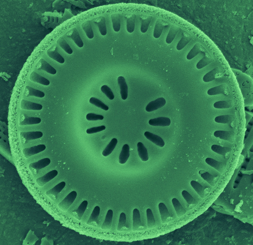
Scanning electron micrograph image of a Discostella diatom (basionsym:
Cyclotella), preserved in the sediments of an Andean lake. Photo
by Alexander Wolfe. |
 |
 |
 |
|
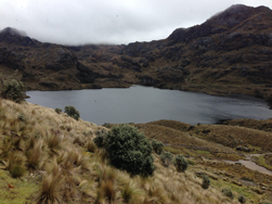
Photograph of the study site Laguna Toreadora. Photograph by Neal
Michelutti. |
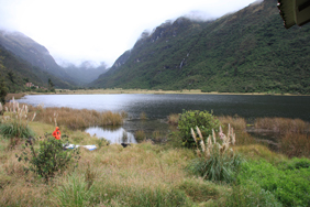
Photograph of the study site Laguna Llaviacu. Photograph by Neal
Michelutti. |
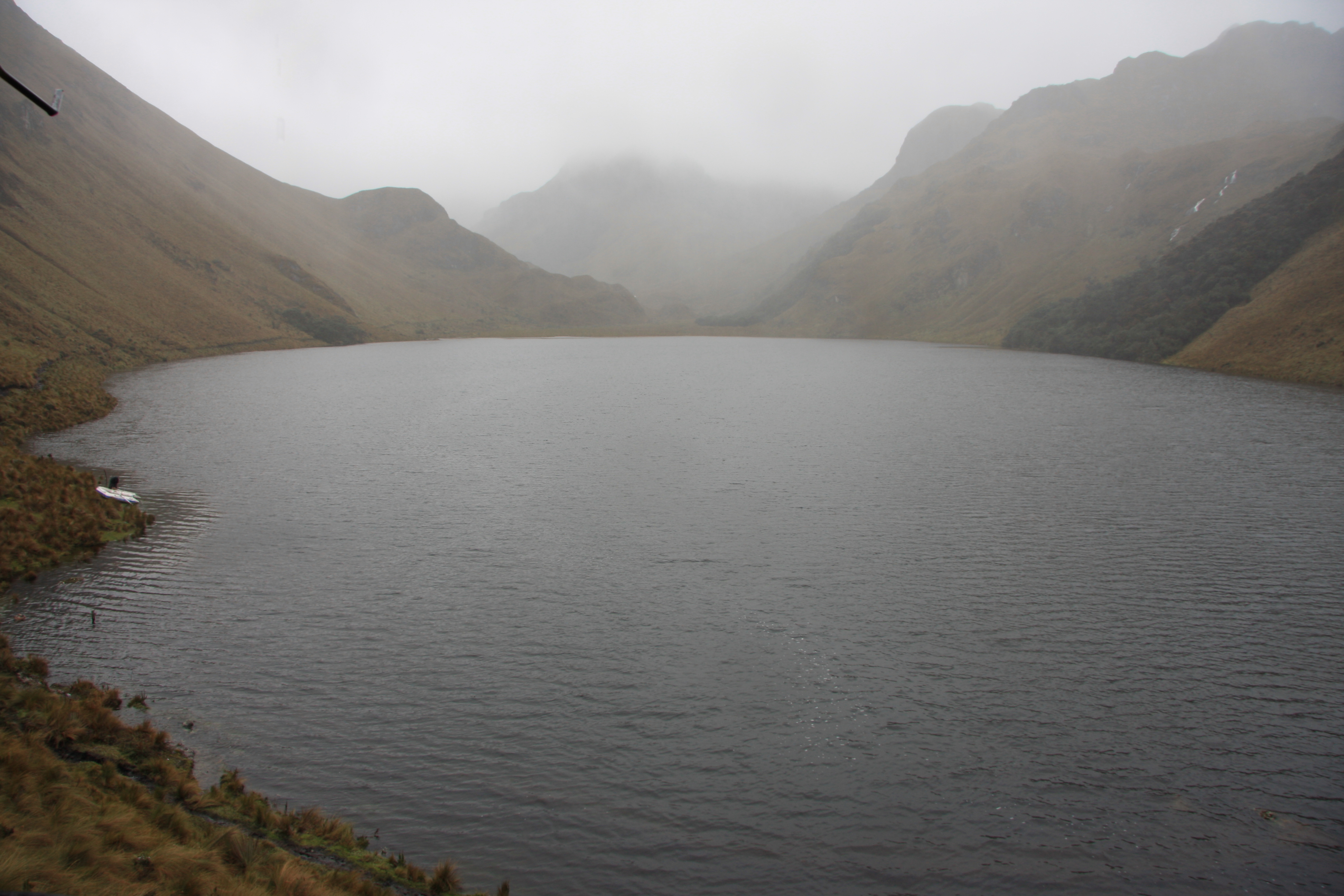
Photograph of the study site Laguna Chorreras. Photograph by Neal
Michelutti. |