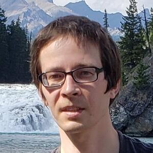
Dr. Ilia Parshakov
Robert Gilbert Postdoctoral Fellow
Department of Geography and Planning
I studied Ecology and Environmental Science at an undergraduate level in Russia from 2004 to 2007, before coming to Canada in 2007 to study Environmental Science for an additional two years at the University of Lethbridge, Alberta. I received my BSc degree in 2009, followed by my MSc in 2012 and PhD in 2021, also conferred by the University of Lethbridge.
Environmental issues have long been at the front of my mind. As part of my PhD study, I developed a machine learning technique called Unsupervised Classification to Change (UC-Change), employed for the detection and monitoring of forest disturbances using remote sensing data. As a postdoctoral fellow in the Department of Geography and Planning at Queen’s, I am continuing the development of UC-Change, with a goal to automate the extraction of information applicable to sustainable forestry planning and decision-making.
Credentials
- PhD in Earth, Space, and Physical Science (University of Lethbridge)
- MSc in Geography (University of Lethbridge)
- BSc in Environmental Science (University of Lethbridge)
Research Interests
Remote sensing; forest disturbance mapping and monitoring; time-series change detection; extraction of information applicable to sustainable forestry planning and decision-making from multi-sensor satellite data (optical (Landsat, Sentinel-2, and PlanetScope), SAR (Sentinel-1), and LiDAR (GEDI)); quantification of primary/old-growth forest loss due to logging and other anthropogenic disturbances; changes in stand composition in disturbed forests.
One of my key research interests is the monitoring of post-disturbance forest recovery from an ecological perspective. As most (~55%) cutblocks in Canada are artificially replanted (typically with commercially valuable species like lodgepole pine), the stand composition of disturbed forests can be substantially different from the pre-disturbance state. Stand composition in areas affected by logging and wildfires is also influenced by climate change. Consequently, disturbed forest cover rarely provides the same ecological value as the surrounding undisturbed forest.
I am confident that GEDI and other LiDAR data can be used to link forest recovery information extracted by the UC-Change technique to changes in stand composition. As the UC-Change technique is highly automated, such information can then be produced and frequently updated on a regional and even global scale.
Links
Selected Publications
- Parshakov, I., Peddle, D., Staenz, K., Zhang, J., & Cheng, H. (2022). Comparison of the UC-Change and C2C change detection algorithms for mapping cutblocks and estimating the rate of forest harvesting in British Columbia, Canada. To be submitted.
- Parshakov, I., Peddle, D., Staenz, K., Zhang, J., & Cheng, H. (2022). A classification-based time series change detection technique for mapping stand-replacing forest disturbances using multi-sensor remote sensing data. To be submitted.
- Parshakov, I., Coburn, C., & Staenz, K. (2014). Automated class labeling of classified Landsat TM imagery using a Hyperion-generated hyperspectral library. Photogrammetric Engineering & Remote Sensing, 80(8), 797-805.
- Parshakov, I., Coburn, C., & Staenz, K. (2014, July). Z-Score Distance: a spectral matching technique for automatic class labelling in unsupervised classification. Proceedings of Geoscience and Remote Sensing Symposium (IGARSS), 2014 IEEE International (pp. 1793-1796).